
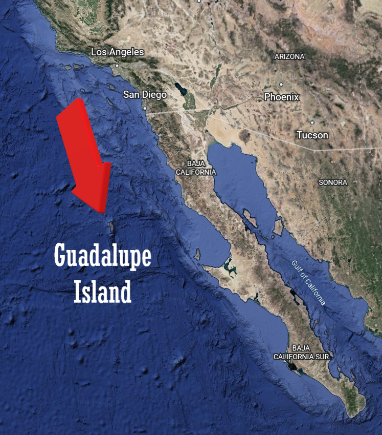
Guadalupe Island lies a little more than 200 miles due south of Point Loma, San Diego.
Its total area is just a little larger than Southern California’s Catalina Island. But Guadalupe rises from sea level to a peak elevation of more than 4,000 feet!
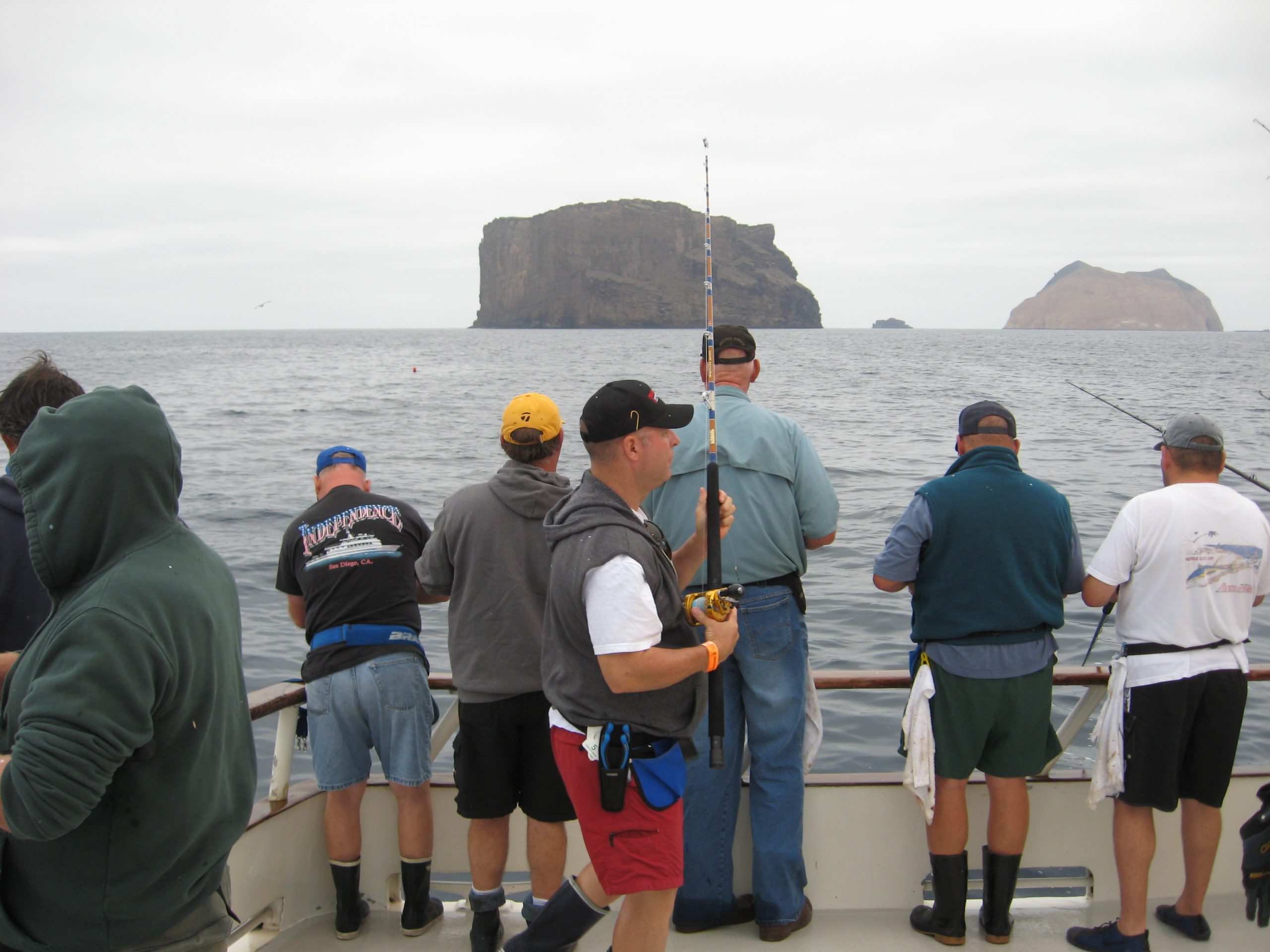
Over the years it’s been a popular destination for the San Diego based long range sportfishing fleet due to it’s remote location (an 18-20 hour boat ride), spectacular scenery, and legendary stories about:
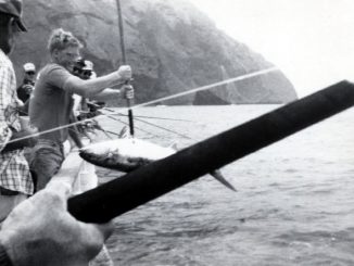
- Super-sized homeguard Yellowtail
- Blue water Yellowfin action in the flat calm lee of the island
- The taxman (Great White Sharks)
- “Guadalupe birds” (Petrels)
In 2005 Guadalupe Island and surrounding waters were declared a biosphere reserve to restore its vegetation (decimated by goats) and to protect its population of marine mammals and birds. That was also when the Mexican government initiated special permits for anglers and boats to fish the island.
After a brief closure with no fishing allowed, negotiations with Mexican fishery officials once again graciously allowed the U.S.-based fleet to visit this special place.
Additional boat and angler permits are required as well as a check-in at the port of Ensenada as of this writing…all subject to change at any time.
While Guadalupe is truly a unique destination, fishing is fishing and can sometimes be just like any other fishing spot.
If you do happen to visit the ‘Lupe, take in the entire experience and if the fishing is good on your trip consider it a bonus!
By the way, you can find excellent fishing for jumbo calico bass, sheepshead and even halibut around the island.
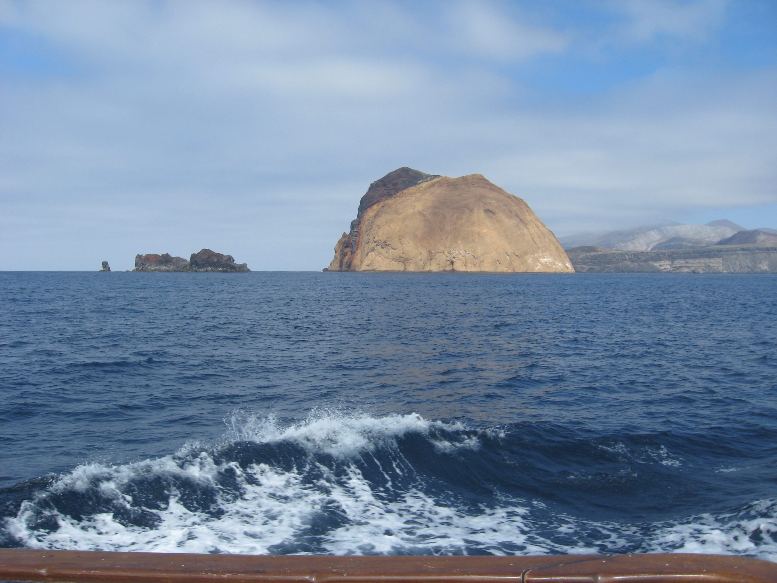
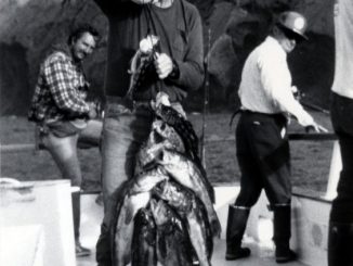
I took the photos below in 1986. This is the north side of Guadalupe Island when I was working as a deckhand on the Red Rooster III. I was in a B&W photography phase, so it wasn’t THAT long ago…
From a weather perspective, Guadalupe Island “creates” some interesting features.
The sheer cliffs on the north end abruptly rise from sea level to between 3,000-4,000 feet.
Air is forced upwards as the prevailing northwesterly wind flow hits this end of the island.
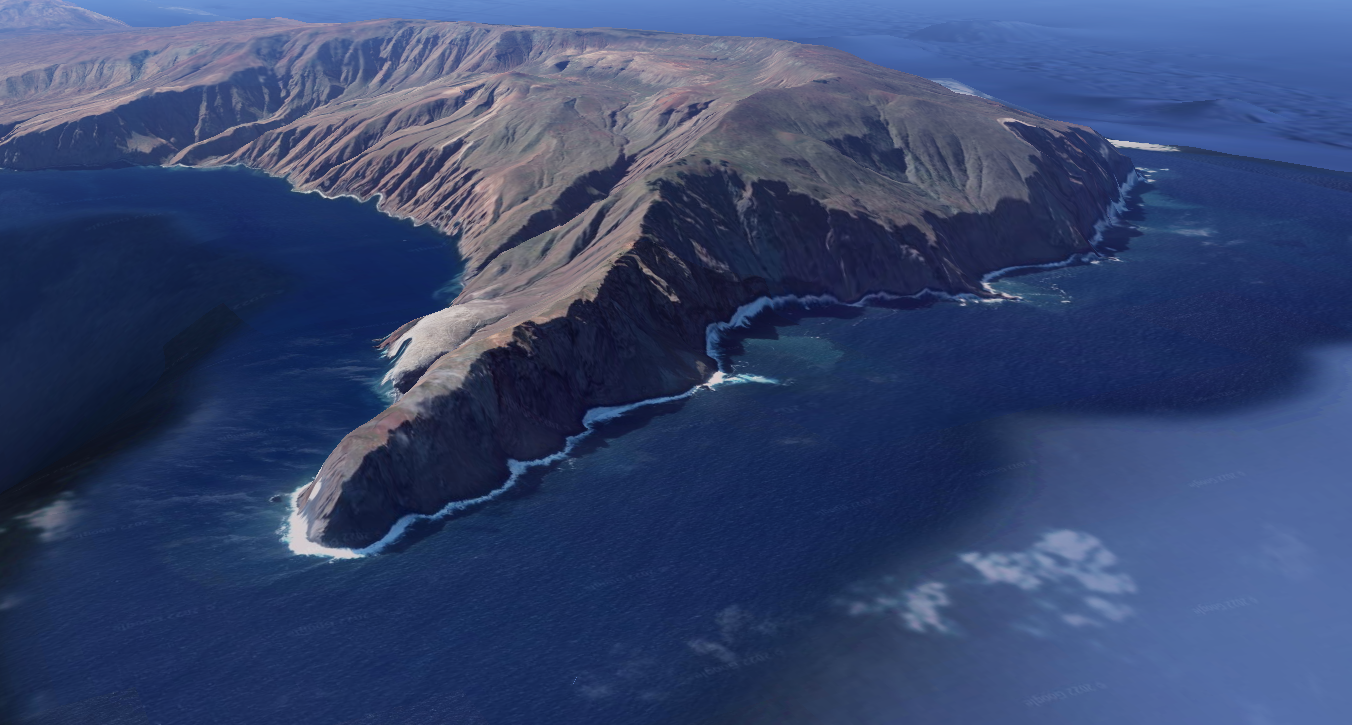
A thick blanket of clouds/fog is the result, enshrouding the jagged terrain of the north end of the island for much of the year.
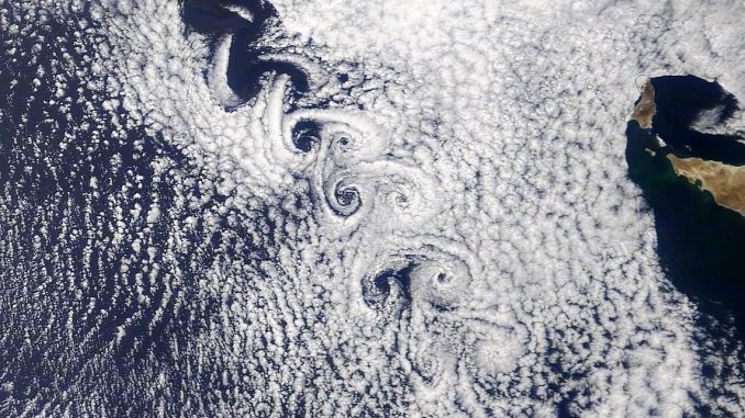
This obstacle also creates a swirling vortex, as seen on satellite images, for hundreds of miles downstream of Guadalupe.
Leave a Reply